Utilities
Industries
Electric & Gas Industries
For more information, complete and submit the form at the bottom of this page.
Geographic Information Systems ( GIS ) is an ideal platform for supporting both the electric and gas utility networks. Combined with the newest Smart Grid technology, GIS provides the ultimate solution for your operations.
NewCom can migrate your existing facility records into GIS by offers a complete solution for your facilities management. These include facility migration from either paper records or CAD systems, custom update applications and integration of local cadastral and planimetric datasets.
NewCom can also enhance your GIS with a comprehensive field Inspection and data collection system with its Voyager, a mobile, durable GIS Inspection system.
Electric Facility Management
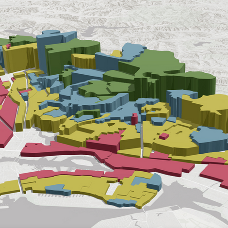
Visualize your facility unencumbered by a file based system. Unlike a CAD based systems, GIS provides A network-wide view of the facilities. Sample screen views of electric facility are below.
Mobile GIS
NewCom Tech offers a complete mobile inspection system designed with flexibility in mind.
The Voyager system is a fully integrated solution for in-the-field inspections and data collection activities. The package consists of hardware and software to support mobile data collect that is seamlessly integrated with the user’s GIS feature sets.
NewCom’s Voyager system provides a means to support a variety of field inspections. Voyager leverages the power of GIS by tightly integrating the user’s GIS data with these inspections and other types of data collection records.
Customized forms are developed for each use, ensuring that all data is collected while on site. Pull-down selections are used where appropriate to maintain consistency in the information collected and to simplify input. The information in these pull-down boxes is configurable by the GIS administrator.
Voyager allows the user to include multiple reference photographs that are automatically associated with the correct inspection record.
The system streamlines the inspection process, and reduces duplicated staff efforts. The information collected in the field can be used to directly support such things as reports, resident notifications, and work orders without the need to have clerical staff generate the documents.
Voyager can support damage assessment:
GPS driven map interface, allows for more accurate data collection.
Inspection information is complete. Any number of digital photographs can be taken while in the field and are seamlessly added as part of the inspection record.
Key Benefits of Mobile GIS
1
Technology
Built on industry leading ESRI GIS cloud-based technology.
2
Paperless
Paperless data collection, with integration into your GIS.
3
Reporting
Automated notification letter or report generation.
Product Highlights

Turnkey
Bundled hardware and software solution

Cloud-Technology
Powered by ESRI ArcGIS technology

Flexible
Accommodating platform

Gas Facility Management
GPS Field Surveys
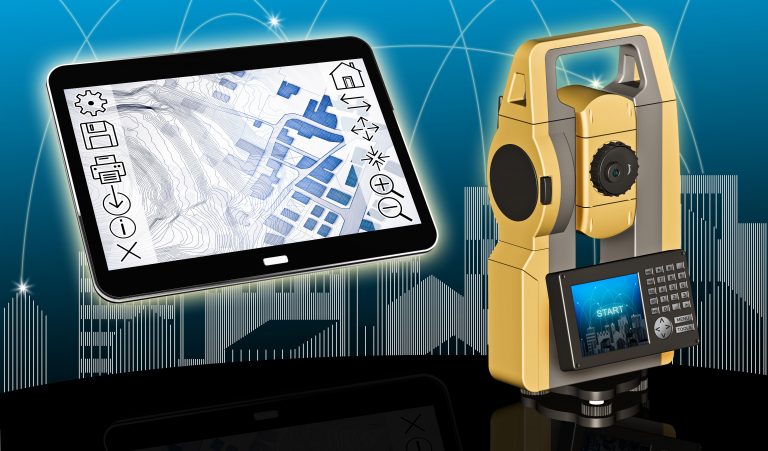
NewCom offers a wide variety of GIS software solutions and data services for both the telecom industry and local and state government. NewCom can provide GPS based field mapping. We use mapping grade equipment to support our field collection activities.
Our facility mapping includes a complete set of attributes associated with each feature point. All data is post-processed to improve accuracy. The data is delivered as one of the standards ESRI data formats; SDE tables, Personal geodatabases, File geodatabases or Shapefiles.
GPS Field Services
- GPS field data collection
- Generate GIS datasets from collected GPS points
- Facility mapping, visible surface features, such as manholes, valve boxes, curb stops, storm structures, etc.
- Infrastructure mapping such as signage, trails, etc.
- Street centerline generation
- Associate the GPS data with existing GIS features